Parcel Outlines From the Air: A Land Listing Along Dixie Highway in West Point, KY
A commercial real estate team had just listed land on both sides of Dixie Highway in West Point, Kentucky, and a map pin was not going…


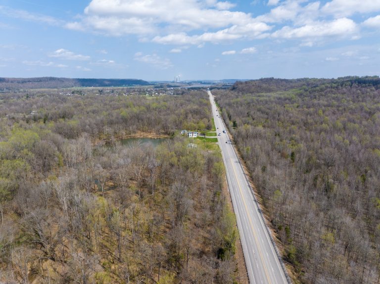
A commercial real estate team had just listed land on both sides of Dixie Highway in West Point, Kentucky, and a map pin was not going…
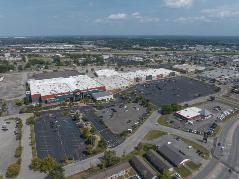
A shopping center sells itself on location, access and the tenants around it, and a leasing brochure has to show all three at once. For a…
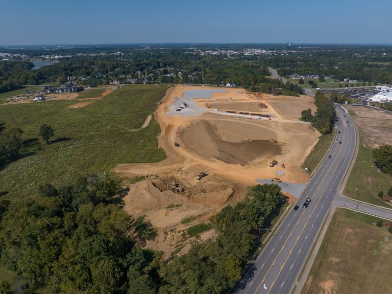
A new medical clinic is going up on the edge of Elizabethtown, and the builder wanted a record of it from the earthwork stage to the…

There is no honest single price for aerial photography, because a quick set of listing photos and a year of monthly construction flights are different jobs….
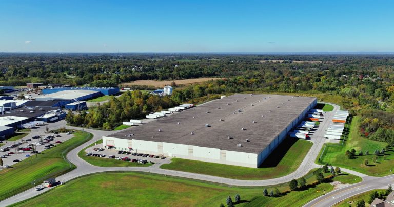
Warehouses are hard to show. From the parking lot they are a wall of siding, and a photo inside holds one aisle at a time. A…
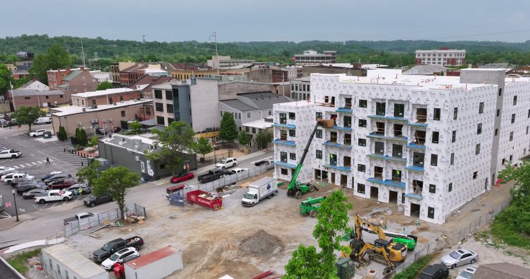
A mixed-use development is rising in Downtown New Albany, Indiana, right along the Ohio River, and it is being documented from the air as it goes…
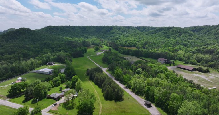
Some properties only make sense from the air. This one is 500 acres in Starlight, Indiana, and it used to be a ski resort. The resort…
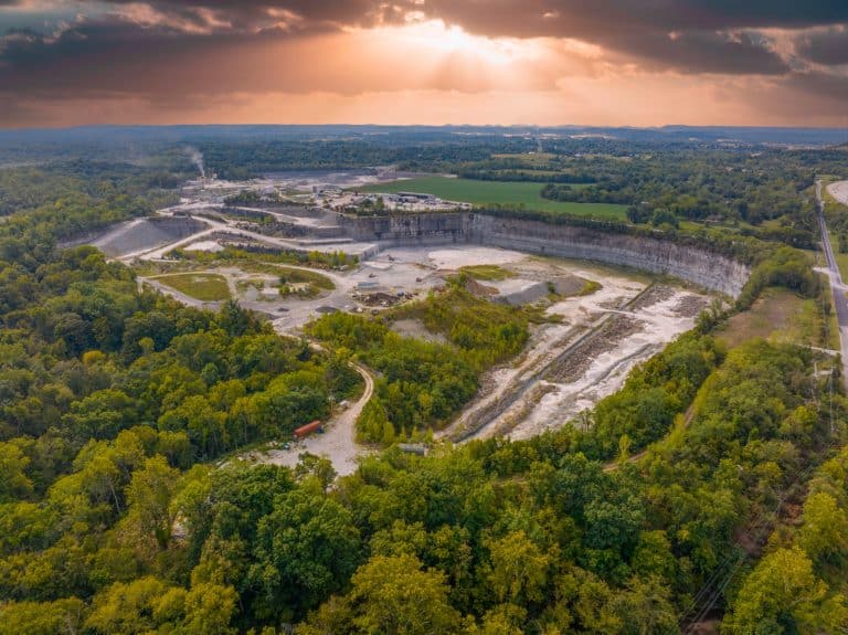
Ground, aerial and 4K video coverage of Quality Stone & Ready Mix, a 300-acre limestone quarry in Shepherdsville that has been supplying Kentucky since 1966 - crushing plant, fleet, highwalls and all.
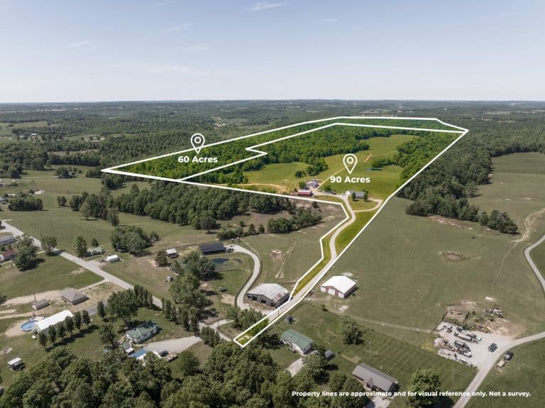
Two parcels, 90 and 60 acres, one picture. How boundary-line overlays, a farm pond and a cinematic drone tour turned 150 Kentucky acres into a listing a buyer can actually see.
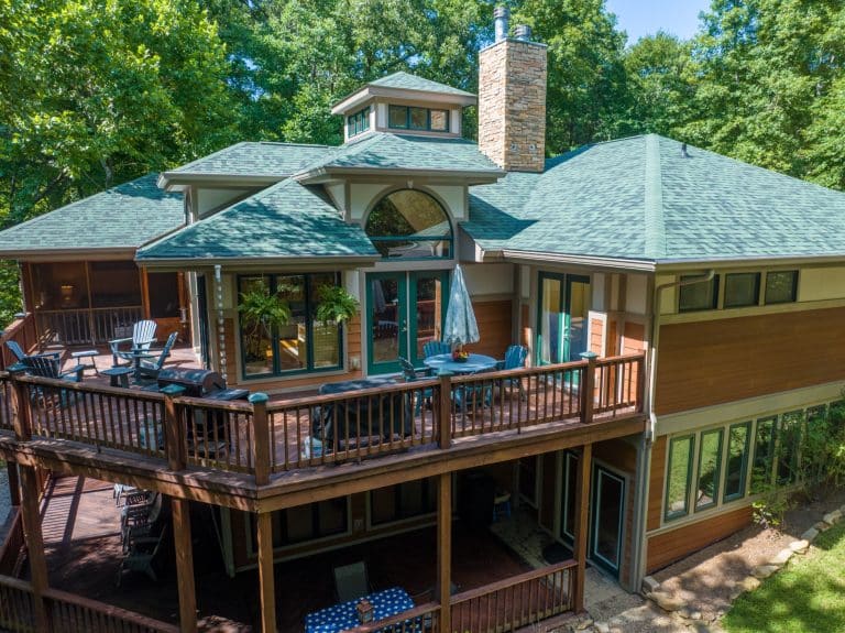
A behind-the-scenes look at a recent lakefront home aerial shoot in Kentucky - what we captured, how the shoot came together, and why drone imagery sells waterfront listings faster.

Drone photography, video and mapping across Kentucky and Southern Indiana. Flying since 2014.
 An Arrow Aerial company
© 2026 Aerial & Drone Photography Louisville

Drone photography, video & mapping
Swipe for more projects