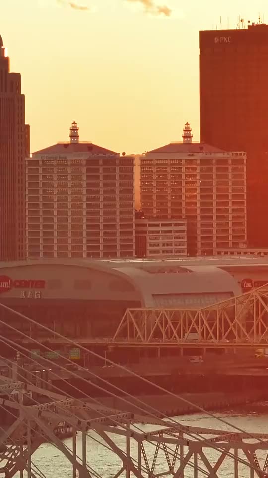
Watching the New Louisville VA Hospital Rise: Monthly Drone Mapping
Two years of monthly drone orthomosaic maps over the new Louisville VA Medical Center for Walsh Construction - watch the 40-acre hospital campus rise map by map.


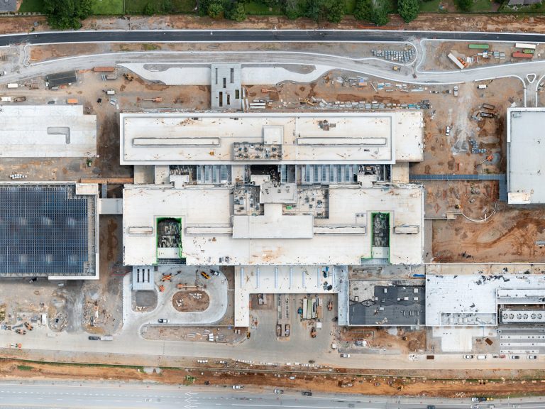
Two years of monthly drone orthomosaic maps over the new Louisville VA Medical Center for Walsh Construction - watch the 40-acre hospital campus rise map by map.
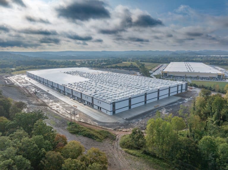
Professional Drone Documentation for Commercial Projects Construction projects move fast - and stakeholders expect clear, consistent updates. A professionally produced construction progress video in Kentucky provides…
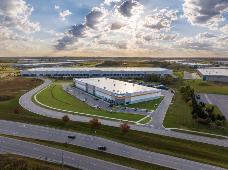
I recently completed an aerial video and photography project for a large commercial build-to-suit facility in Jeffersonville, Indiana. This project included professional drone video and high-resolution…
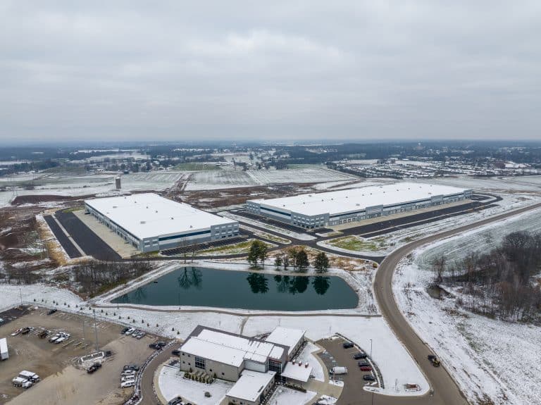
Construction aerial photography in Louisville plays a critical role in how project teams track progress, communicate with stakeholders, and keep complex builds on schedule. At Aerial…
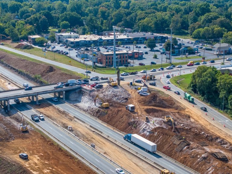
Aerial photos and video document the I-264/U.S. 42 interchange in Louisville, showing changes to ramps, roads and bridge structures throughout the $130 million construction project. The…
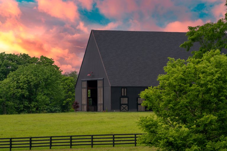
Lexington, Kentucky is known for its rolling bluegrass landscapes, historic horse farms, and rapidly growing commercial development. Whether you’re showcasing a property, documenting construction progress, or…
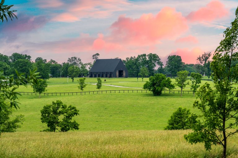
Lexington, Kentucky is famous for its horse farms, rolling hills, and growing commercial landscape. More businesses and property owners are turning to drone photography to showcase…
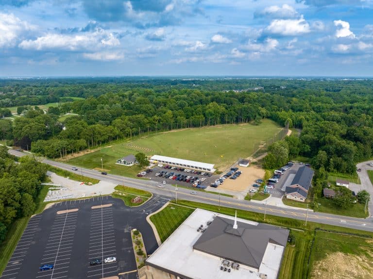
Drone Video & Photos of Golf Driving Range in New Albany, Indiana I recently had the opportunity to capture a local golf driving range in New…
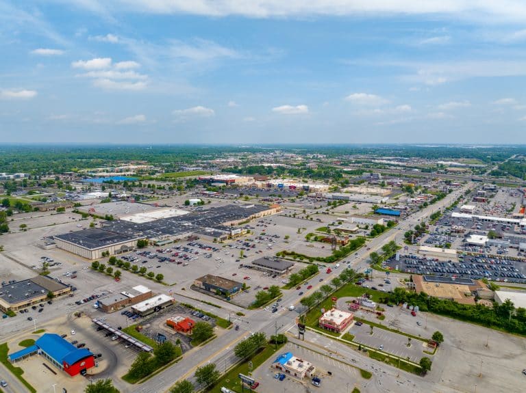
Discover Clarksville, Indiana From Above with Drone Photography Clarksville, Indiana offers a unique blend of historic charm, thriving business districts, and scenic landscapes along the Ohio…

Discover Louisville From Above with Drone Videography There’s no better way to experience Louisville than from the sky. A drone aerial view of Louisville, Kentucky captures…

Drone photography, video and mapping across Kentucky and Southern Indiana. Flying since 2014.
 An Arrow Aerial company
© 2026 Aerial & Drone Photography Louisville

Drone photography, video & mapping
Swipe for more projects